The site class stores soil characteristics for a variable number of soil strata. Each stratum may be subdivided into one or more soil layers, all of which share the same set of parameters (e.g., pH, wilting point).
- Predefined types – Humus and mineral‑soil types provide default values. If a parameter is missing (identified by the nodata flag), the model automatically substitutes the corresponding default.
- Required ancillary data:
- Land‑use history must be supplied to improve the initialisation of the ecosystem state.
- Hydraulic conductivity directly below the bottom soil layer can be defined (e.g., in order to seal the bottom sksbottom: 0.0)
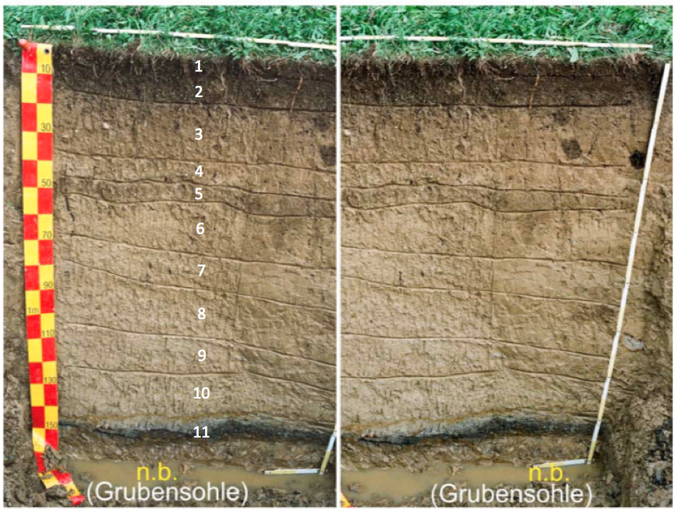
soil profile
Humustypes
Soiltypes
- Predefined types – Humus and mineral‑soil types provide default values. If a parameter is missing (identified by the nodata flag), the model automatically substitutes the corresponding default.
- Required ancillary data – Land‑use history must be supplied to improve the initialisation of the ecosystem state.
- Stone content – All bulk‑soil inputs (e.g., bulk density, field capcity,...) must refer to soil excluding stones/rocks.
- Note
- Hydrologic parameters – Ensure that the values for field capacity,
wilting point**, and the van Genuchten parameters describing the soil‑matrix
potential are internally consistent.
- Missing split argument – If a stratum is not explicitly divided into individual soil layers, the model inserts a depth‑dependent default layer thickness to guarantee a valid discretisation.
- Stone content – All bulk‑soil inputs (e.g., bulk density, field capcity,...) must refer to soil excluding stones/rocks.
Humusparameters
Soilparameters
